About
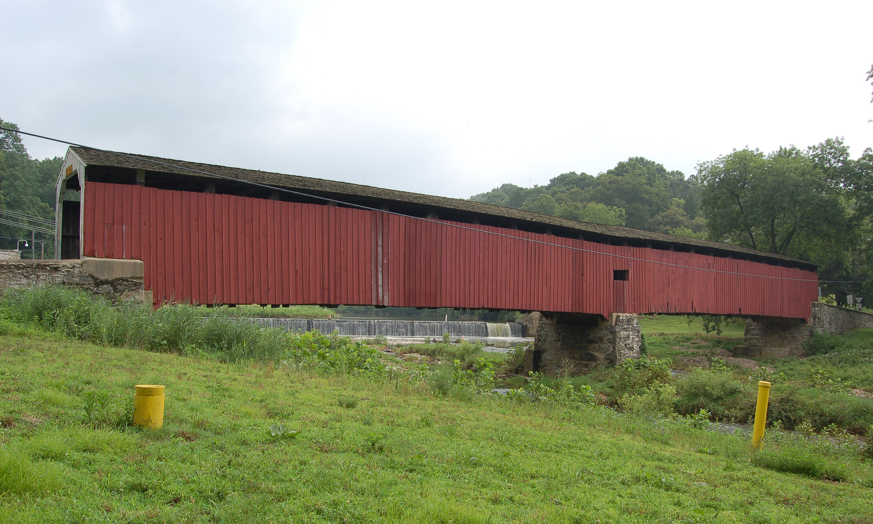
Hayes Clark Covered Bridge stands on a private road in the Brandywine Conservancy's Laurels Preserve, between Coatesville and Kennett Square in Chester County. Coveredbridges.net places it over Doe Run, while Uncovering PA says Buck Run. Sources also differ on its length: Uncovering PA gives 75 ft, and coveredbridges.net gives 85.8 ft overall with a 74.2 ft main span. It is closed to vehicles.
History
Uncovering PA reports that the bridge was first built in 1884, burned in 1963, and was rebuilt in 1971 as close to the original as possible. Coveredbridges.net gives 1871, and a local roads site gives 1971 as the date of the replacement. The same site describes the present bridge as a replica twin of the nearby Speakman No. 2 bridge on Buck Run.
Design
Coveredbridges.net describes the truss as a queenpost variant and gives a deck width of 17.4 ft.
Visiting
The bridge is on preserve land that the Brandywine Conservancy opens to its members from dawn to dusk. The preserve entrance is on Apple Grove Road, 100 yards off PA 82, about four miles west of Unionville, and its parking area holds about ten cars. Non-members are directed to join before visiting.
Sources: Visiting the covered bridges of Chester County (Uncovering PA), Hayes Clark Covered Bridge (coveredbridges.net), Laurels Preserve (Brandywine Conservancy)
Location
Laurels Preserve, Chester County, PASimilar Bridges in category
Explore More
Hunsecker's Mill Covered Bridge
Manheim and Upper Leacock townships, Lancaster County. Built 1843, 180 ft over the Conestoga River. The county's longest single-span covered bridge, rebuilt in 1973 after Agnes.

Herr's Mill Covered Bridge
Elizabethtown, Lancaster County. Built 1844, a two-span 178 ft bridge over Pequea Creek. Dismantled in 2018 and moved to the private Stone Gables Estate.
Pine Grove Covered Bridge
Little Britain Township, Lancaster County. Built 1884, 198 ft over the East Branch Octoraro Creek. A two-span Burr arch, it is the county's longest covered bridge.